Pune: Rs 1.13 Crore Spent on Recalculation of Red Zone Boundaries for Dehu Road and Dighi
Reported by Varad Bhatkhande
Pimpri Chinchwad, 7th August 2024: The Dehu Road and Dighi areas have been newly designated as red zones. The Land Record Department (Mahabhumi) of the Maharashtra State Government conducted a census using satellite technology. An official map with accurate and clear boundaries is in progress and will soon be available to the public, resolving any confusion regarding the red zone borders.
The red zone boundary stretches 2,000 yards (around 1.82 km) from the outer perimeter of the Ordnance Factory Dehu Road and extends 1,145 meters from the Dighi Magazine Depot, imposing stringent restrictions on construction activities. The local administration currently lacks an exact demarcation or an accurate count of residential and commercial properties in these red zones. Although construction is prohibited in the red zone, significant unauthorized residential construction has occurred. Over 3,000 industrial establishments have been operating in the red zone area for the last 40 years, and residents of old squatter houses cannot build new ones. Approximately five lakh citizens of Pimpri Chinchwad city are affected by the red zone.
Due to confusion among the citizens regarding the boundaries of the red zone, a census was demanded. Areas like Dighi, Bhosari, Wadmukhwadi, Talawade, Rupee Nagar, Yamuna Nagar, Nigdi, Ravet, and Kiwale are within the red zone. Additionally, Sangvi, Pimple Gurav, Pimple Nilakh, Pimpri Gaon, Kasarwadi, and Dapodi have military installations. The Ordnance Factory Dehu Road and Dighi Magazine Depot have been declared red zone areas, and construction within their limits is prohibited. This confusion regarding the boundary line prompted the Ministry of Defence to authorize a recalculation of the red zone boundary, which cost Rs 1.13 Crores. The map preparation is in its final stages.

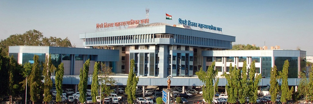
Once the map is released, the Pimpri Chinchwad Municipal Corporation (PCMC) will plant large stones to mark the red zone boundary and conduct drawings on them. The Land Record Department has completed the census using satellite technology, covering all properties, buildings, open spaces, roads, trees, and other resources from the outer boundary wall of Ordnance Factory Dehu Road and Dighi Magazine Depot to the fixed boundary. Deputy Director of the PCMC’s Town Planning Department, Prasad Gaikwad, stated that the red zone boundary calculation has been completed, and the map will be available within a month.